
✆ + 1-646-235-9076 ⏱ Mon - Fri: 24h/day
3 months
Project duration
Outsource
Engagement model
5 Developers
Team size
USA
Client
Project Introduction
Coastlines are constantly changing. Erosion, storms, tides and sediment movement reshape the shoreline from season to season. For organizations that monitor these areas, the value of a drone survey isn’t in a single flight, it’s in repeating the same survey over time and comparing the results.
In many survey programs, that’s exactly where the workflow breaks down. Flights get planned by hand before every visit, imagery gets copied off memory cards manually, and datasets from different dates are hard to line up. The more often a survey repeats, the more time the team spends on logistics instead of analysis.
The client needed a connected software platform that would let teams plan missions on the web, fly the same routes again and again, and move imagery automatically into a cloud workflow with a clear path to AI-powered analysis later. That meant building:
- A scalable backend for large geospatial imagery datasets
- Reliable drone-to-cloud data flow
- A map-based web interface for planning and review
Scope of Project
Our team was responsible for designing and developing the software layer that connects drones, field teams and cloud data into one workflow.
1. Mission Planning & Operator Apps
Fordewind delivered a web-based mission planning portal and companion tools for field operators, built around the needs of repeat surveys:
- Web-planned missions — survey areas, flight routes, altitude and camera settings defined on a map in the browser and saved as reusable mission plans
- Repeat missions — the same flight plan can be re-flown on every visit, so imagery from different dates covers the same area the same way
- Fieldwork assignment — missions assigned to operators and tracked from the office, with a clear view of what’s been flown and what’s still pending
- Companion apps — operator apps that bring the planned mission into the field and report progress back to the web portal
The core idea behind the solution is repeatability. A single survey shows what the shoreline looks like today; a series of identical surveys shows how it’s changing. By treating each mission as a reusable plan rather than a one-off flight, the platform makes every new dataset directly comparable with the last — the foundation for any change analysis, manual or AI-powered.
2. Drone & Sensor Integration
- Connected drone autopilots and device APIs, including DJI SDKs and ArduPilot, to send missions to the aircraft and pull flight data back
- Linked flight telemetry, camera and payload sensor data to each mission, so every image is tied to its location, time and flight
- Built the integration layer around the client’s hardware, leaving room to add new drone models or sensors without rebuilding the platform
3. IoT & Cloud Connectivity
- Implemented upload queues that move imagery from the field to the cloud reliably, even where coastal connectivity is limited
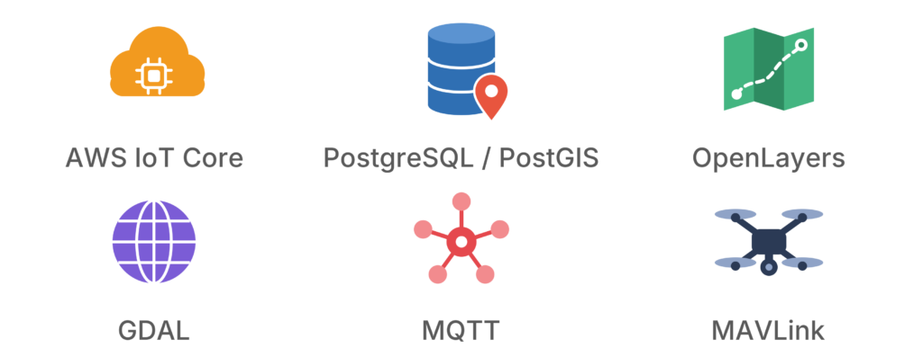
- Built telemetry pipelines that bring device status and flight data into the platform using MQTT, REST APIs and WebSockets
- Set up alerts for mission status and completed uploads, so the office team knows when new data is ready for review
- Used AWS IoT Core for secure, scalable device-to-cloud communication
4. Maps & Spatial Data
- Developed a map-based web interface on OpenLayers for planning missions and reviewing survey results
- Stored survey areas, flight paths and imagery footprints in PostgreSQL / PostGIS
- Used GDAL to process geospatial imagery formats and coordinate systems
- Organized imagery by location and date, so every survey of a coastal section can be reviewed alongside earlier ones
5. Next Phase: Computer Vision & AI
Building on the platform, Fordewind has outlined an AI extension for the client:
- The same approach extends to object detection and image triage in other inspection workflows
- Computer vision models that compare imagery from repeat surveys and flag shoreline changes
- Findings mapped and routed to specialists for review — AI speeds up the search, experts make the final call
Project’s Specifics
Results
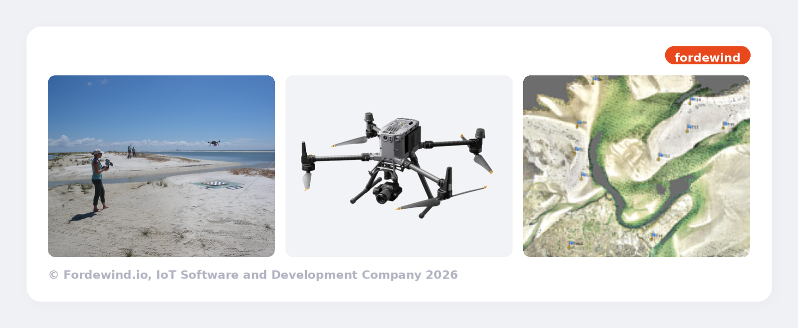
The deployment of the coastal survey platform resulted in:
- Repeatable missions — survey routes are planned once on the web and re-flown on every visit, producing consistent, comparable datasets
- Less manual work — imagery moves from the field to the cloud through automated upload queues instead of manual transfers
- Centralized survey data — flights, telemetry and imagery are stored in one place, organized by location and date
- Shared map-based workflow — office and field teams plan, track and review surveys through one map interface
- AI-ready foundation — structured, geo-referenced imagery sets the platform up for computer vision and automated change detection
By combining drone integration, IoT connectivity and geospatial cloud workflows, we helped the client turn coastal surveying from a series of one-off flights into a repeatable, data-driven monitoring process. This project highlights our expertise in drone software development, IoT and cloud infrastructure, and geospatial data — backed by an IoT team that has connected 4.5 million devices — and lays a solid foundation for AI-powered shoreline analysis.
Similar Case Studies
Contact Us
New York
348 W. 57th St., New York, NY 10019
+16462359076
contact@fordewind.io
Vancouver, Canada
W Georgia St, Vancouver, Canada
+16462359076
contact@fordewind.io
Warsaw, Poland
Plac Europejski 4, Warsaw, Poland
+48452478282
contact@fordewind.io
Tallinn, Estonia
Kesklinna linnaosa, Kaupmehe, 10114, Estonia
contact@fordewind.io
Kyiv, Ukraine
19 Koval’s’kyi Lane, Kyiv, Ukraine
+380967764322
contact@fordewind.io